
Drone Surveys
Drone surveys provide valuable imagery of a property and the surrounding area. They can give a detailed view of roofs and boundary lines that can greatly aid the planning process.
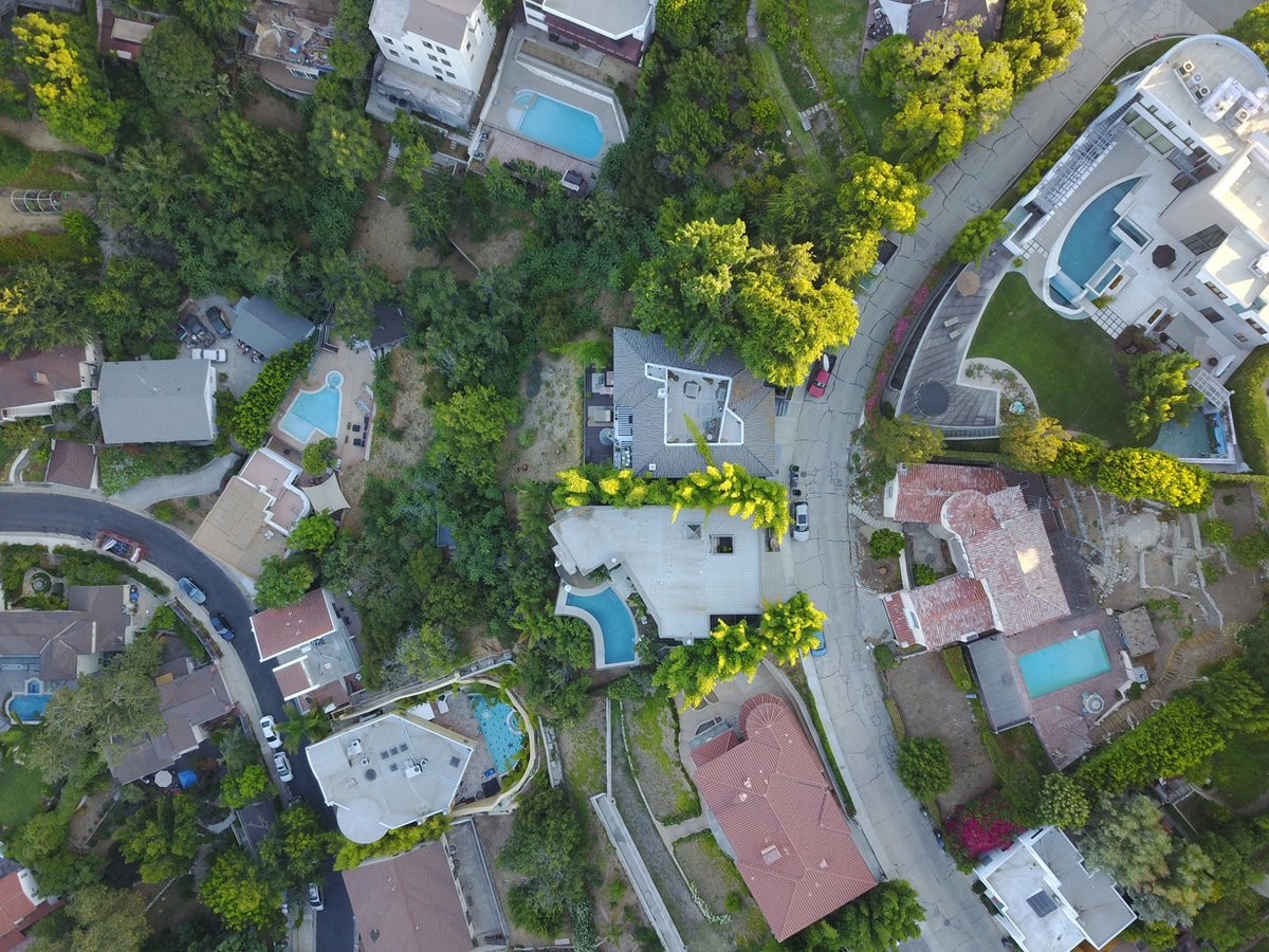
What a drone survey shows you
A drone survey is aerial video footage of a property and the area around it. It is the simplest way to see roof coverings, valleys, parapets, chimneys, rear additions and boundary lines without scaffolding or ladders.
It is not a substitute for a measured building survey — the footage is visual context rather than dimensioned drawings — but the two work well together, and clients often book both for the same visit.
What the service involves
- Video footage of the entire property as standard.
- Footage of any specified areas of interest you want covered.
- Available as a stand-alone service or as part of a full measured survey.
Typical applications
- Viewing roofs and areas that are difficult to reach or see from the ground.
- Understanding boundary lines and the surrounding context.
- Supporting information for a planning application.
- Recording a property before works begin.
Why London CAD for this work
Combining a drone survey with a measured building survey means one visit produces both the accurate dimensions and the visual context of the property.
Tell us what you need to see and we'll cover it .
Related services: measured building surveys · get a quote for your property
Common questions
Questions we're often asked
- Can I book a drone survey on its own?
- Yes. It is available as a stand-alone service or as part of a full measured survey.
- What do I receive?
- Video footage of the whole property as standard, plus footage of any specific areas you ask us to cover.
Need a quote?
Tell us about your property and what you need. We'll come back with a clear price and a realistic lead time — no obligation.